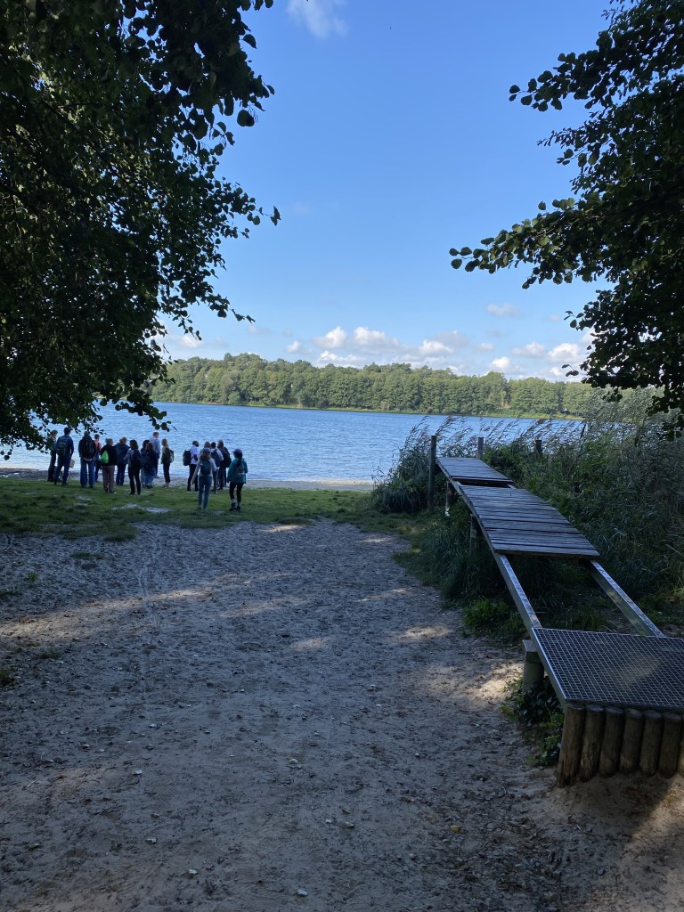
I attended a summer school in September last year, in Berlin, Germany. Summer Schools are designed for doctorate/post graduate researchers, practitioners to come together and discuss a particular thematic issue, theoretical debates and experiences and learning that emerge through those interactions. As part of the school we visited/attended a case study of a big lake just outside of Berlin, with a big team of multidisciplinary scientists who were trying to answer- why the lake water levels are declining? The lake, which was groundwater fed, meaning that there were no visible surface inflows into the lake, had seen a declining water level over the past couple of decades. About 50 odd group of scientists ranging from diverse disciplinary backgrounds had come together as part of the project to answer this and suggest potential interventions to address the associated issues. As part of our visit, we interacted with some of the expert scientists working on the project to understand what are they working on and what have been their observations. While totally understanding that a couple of days of engagement- what we/I observed and understood, does not necessarily give justice to a project that spans several years, however, there were certain glaring issues that came forth during the discussion. I intend to discuss them in this blogpost.
‘You must know what an aquifer is’
In an question answer format of discussion near the lake, a question around groundwater came up. In response, the hydrogeologist in the expert team was explaining about the aquifer system. While doing so, a question came up- what is an aquifer? To respond to this, the expert suggested that ‘we must know what an aquifer is’ presuming the group had background in water sciences. As the discussion ensued it emerged that there was no coherent understanding of what is an aquifer (reference to saturation) or to how is an aquifer (how extensive it is, how much is the depth), especially when the discussion involved scientists from other disciplinary backgrounds as well as some of us, participants, getting involved in the discussion.
One of the criteria to identify this non-coherence (or non-agreement?) was about the question related to boundaries of the aquifer or rather, what constitutes the aquifer in the first place! The team was extensively working on determining the ‘catchment’ of the lake, wherein what boundary should be considered as catchment (you may also call it the area in and around the lake that influences lake’s behaviour)- as it will affect the rainfall over that area, land use and land cover etc. On the specific question about whether the aquifer boundary align with the boundary considered in this case, the response was that the aquifer boundary converges with the surface boundaries (topographically). Again, there were some disagreements here. But this piece of discussion reminded me of something else.
While trying to understand how watersheds (surface) came to be deployed for groundwater knowledge production in Maharashtra, I was struck by an inherent assumption that was brought up in the 1970s. To summarise, I would quote what Dhokarikar (1991), a Director at the Groundwater Surveys and Development Agency for state of Maharashtra, India (From 1989 to 1991) has said:
“groundwater mimics watersheds”.
About 40-50 years after this observation and an assumption, we still are not quite sure if this is the case. This is what I realised during the discussion with the experts of the projects. With manifold resources at their dispense, intensive technological and infrastructural developments, and we still are not quite sure about the boundaries. It reminds me how ‘scale’ is not an ontological category (objective, given, out there!) but something that is made and re-made during the process of knowledge production.
‘Groundwater inflows and outflows’
Another group within the project is working on deriving the water balance for the lake. While everything else has been measured to some extent, monitored, and based on it, certain calculations have been made, it was discussed how difficult it is to identify groundwater inflows and outflows themselves. Based on changes in the lake, one may estimate them, but arriving at them through some form of groundwater monitoring is very difficult.
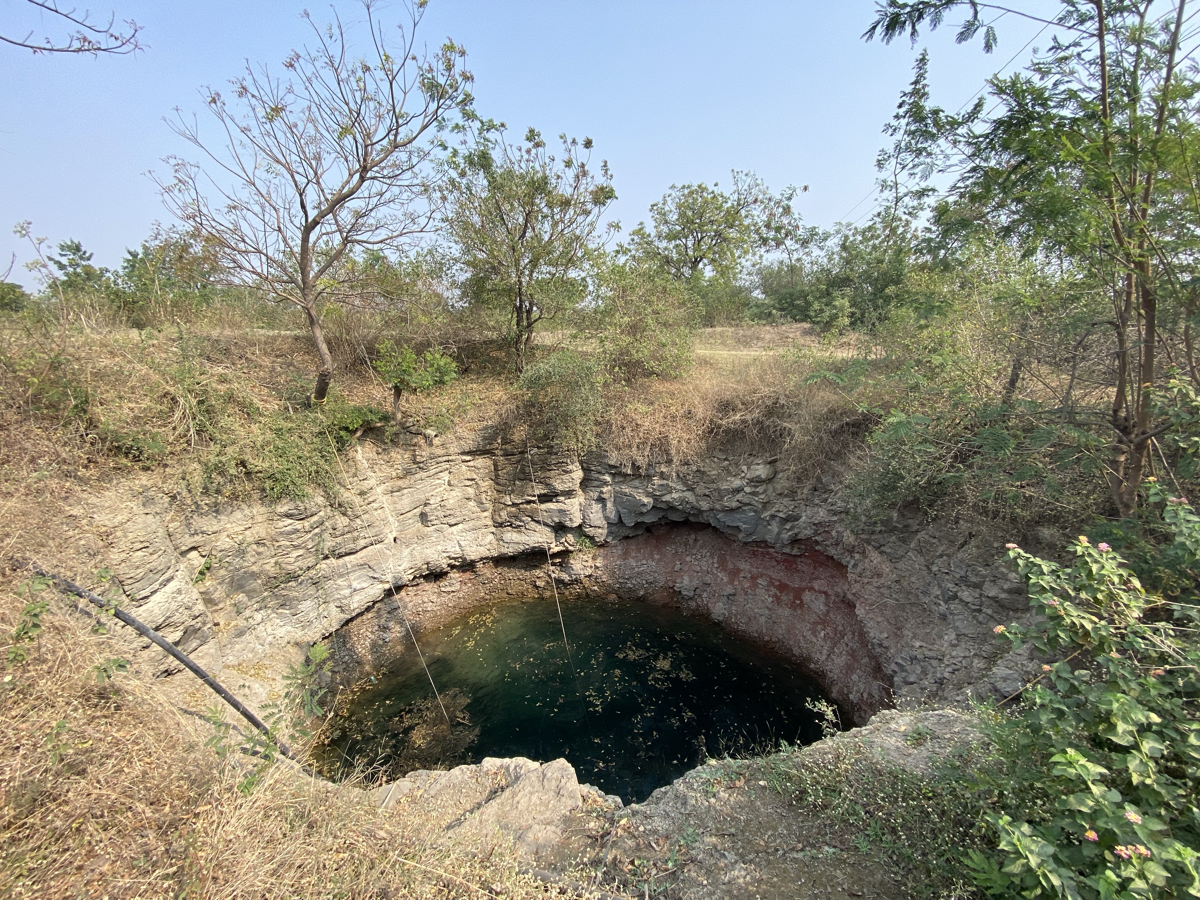
This brings us another complexity of groundwater- that not just being able to see is not the only problem, not being able to quantify it is another issue- especially in contexts wherein groundwater and surface water boundaries are often blurred (which are, almost, everywhere!). I started to imagine the lake as a large large dug-well. Unlike a well, which has to be constructed, the lake was a ‘natural’ depression in local region that led to groundwater inflows into the lake/well from one direction and groundwater outflows from the lake in another direction.
Changes in the lake level are an indicator of changes in the groundwater conditions around the lake?
Discussions in India, particularly around groundwater, hover predominantly on phrases like ‘lack of data’, ‘granularity of data’ or the one I like the most- ‘lack of good data.’ That data about groundwater (presumed here to be about water levels, water quality parameters) is an impediment towards improving governance and management is often a line put forward across the spectrum of actors. While I was in Germany, I was expecting a different experience but I was wrong. When a couple of participants, at two very different points in the discussion, asked the experts- that if they had a lot of money (a constraint put forth by project finance) what would they do. These two, distinct experts- one a geophysicist turned data scientist while another, a hydrogeologist- responded in the same manner- we would drill a lot more wells, monitor a lot more groundwater! How much is more?
Assuming is not a problem, but not being conscious of them and questioning them is. The assumption that data, and data alone will be able to resolve problems of groundwater governance is a dangerous path. It then, like Climate Change, puts the onus on the non-human, on the limitations of science, of doing groundwater science. It moves the discussion away from the groundwater user communities, from farmers, practitioners towards scientists and groundwater officials, towards what one calls ‘technification’ of the issue. In a way, alienates the issue, isolates it in a corner, or holds it in the category of ‘blind spot.’
While one may even try to answer that, a question about whether that data is ‘good data’, whether it is ‘enough data’ emerges. Thousands of wells, if not millions are being monitored, measured by various non-governmental organisations in India but none of that finds its way into the ‘formal’ discourse of groundwater monitoring and assessments. Who has done it, whether it was on approved location brings in questions of trust and legitimacy. In my work experience myself, I may have been engaged in projects and programmes wherein I participated in monitoring about 10000 wells across different parts of the country, either once or on a continuous basis. What does one make of all that ‘data’ lying in those reports, excel sheets and field notebooks? Only because I was not employed or assigned by a government agency, all that work does not get a chance to reflect the situation of groundwater, or to talk to policy makers and officials. This article by Veena Srinivasan talks a lot about this point.
Groundwater, and groundwater related work becomes a slippery slope in water governance. More later..

Leave a comment